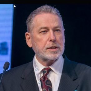
Honorary Chairperson
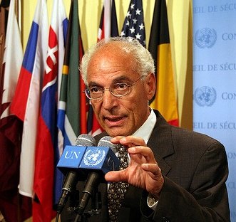
Director of the Center for Remote Sensing and Research Professor at the Departments of Archaeology and Electrical & Computer Engineering, and Associated Faculty at the Department of Earth and Environment, Boston University, Boston, MA, U.S.A. Prof. El-Baz was the principal Investigator of the Earth Observations and Photography Experiment on NASA’s Apollo-Soyuz Test Project (ASTP)Among the many awards Dr. El-Baz has received are: the Apollo Achievement Award, Exceptional Scientific Achievement Medal, and Special Recognition Award, all from NASA
Keynote Abstract
Satellite Image Monitoring of Changes to the Environment of the Earth in Space and Time
The space age has opened new vistas for students, teachers and others to acquire, utilize and disseminate information, through cyber-space, in multitudes of forms. It is imperative that we play a significant part in this global intellectual revolution. The boundaries of a school, city of country are no longer confining. Each one of us can reach across the oceans, the whole globe, or outer space to gain and disseminate information for the common good. One significant aspect of knowledge today is the state of the local, regional and global environments. Humans cannot live in harmony with the Earth unless we become familiar with our surroundings and conscious of their changes in space and time. Digital images from space allow us to do so through numerous ways and at all scales. The Internet offers numerous options to view, analyze, download or post the information at no cost. We must all take advantage of this valuable opportunity. Examples are given of the use of space image data in establishing the potential of groundwater resources in the most arid desert regions. Such data include: (1) multispectral images that clearly depict surface features and allow the deduction of their geologic history; (2) thermal images that show the location of rain water accumulation as cool anomalies just below the surface, which may replenish groundwater aquifers. They are also used to identify groundwater seeps along faults in coastal zones that can be harvested before entering the sea; (3) radar data that penetrate the sand cover to reveal buried courses of ancient rivers, whose flow directions indicate potential sites for groundwater accumulation; and (4) elevation data that depict surface water flow in the past as well as in the present. Correlations of such datasets in a geographic information system (GIS) allow defining the best methods to locate and sustainably use the water resources. In addition, such procedures assist is selecting methods to help in measuring changes to the environment due to the actions of human populations worldwide.